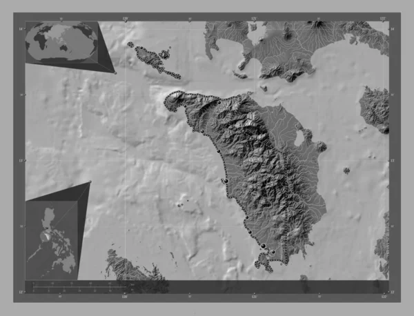
Oriental Mindoro Province Philippines Bilevel Elevation Map Lakes Rivers Corner — Stock fotografie

Oriental Mindoro, province of Philippines. Bilevel elevation map with lakes and rivers. Corner auxiliary location maps — Stock obrázek

Oriental Mindoro, province of Philippines. Bilevel elevation map with lakes and rivers. Corner auxiliary location maps

 — Fotografie od Yarr65

Stejná série:

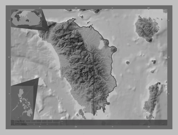
Oriental Mindoro, province of Philippines. Grayscale elevation map with lakes and rivers. Corner auxiliary location maps
Oriental Mindoro Province Philippines Grayscale Elevation Map Lakes Rivers Corner — Stock fotografie
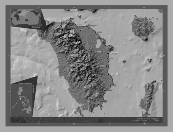
Oriental Mindoro, province of Philippines. Bilevel elevation map with lakes and rivers. Locations and names of major cities of the region. Corner auxiliary location maps
Oriental Mindoro Province Philippines Bilevel Elevation Map Lakes Rivers Locations — Stock fotografie
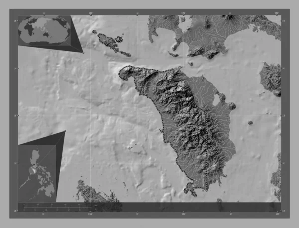
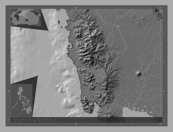
Occidental Mindoro, province of Philippines. Bilevel elevation map with lakes and rivers. Corner auxiliary location maps
Occidental Mindoro Province Philippines Bilevel Elevation Map Lakes Rivers Corner — Stock fotografie
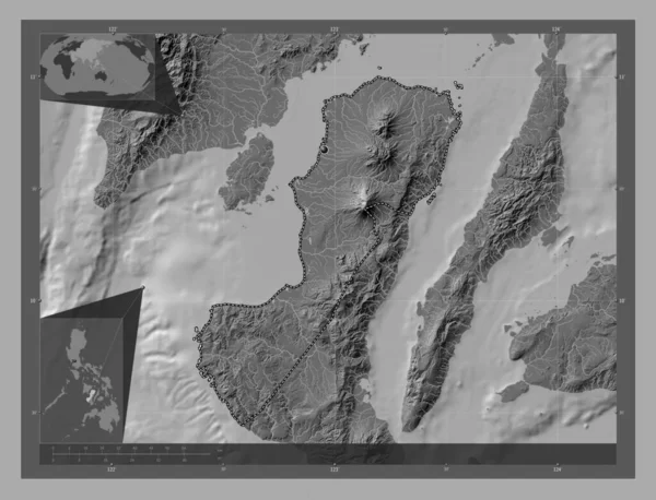
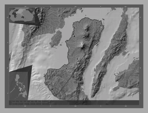
Negros Occidental, province of Philippines. Bilevel elevation map with lakes and rivers. Corner auxiliary location maps
Negros Occidental Province Philippines Bilevel Elevation Map Lakes Rivers Corner — Stock fotografie
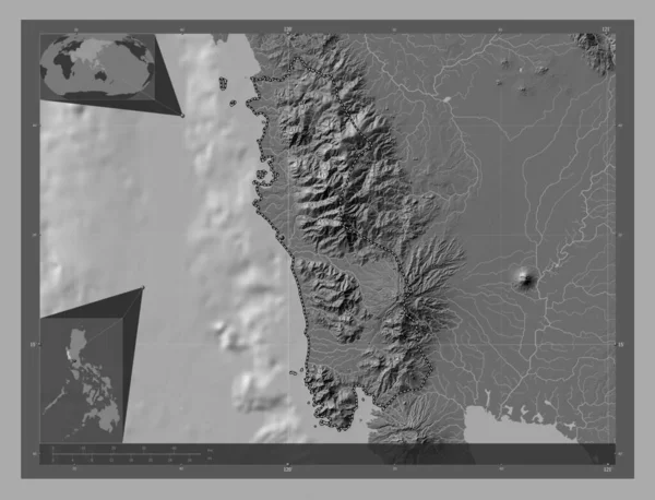
Zambales, province of Philippines. Bilevel elevation map with lakes and rivers. Corner auxiliary location maps
Zambales Province Philippines Bilevel Elevation Map Lakes Rivers Corner Auxiliary — Stock fotografie
Negros Occidental, province of Philippines. Bilevel elevation map with lakes and rivers. Locations of major cities of the region. Corner auxiliary location maps
Negros Occidental Province Philippines Bilevel Elevation Map Lakes Rivers Locations — Stock fotografie
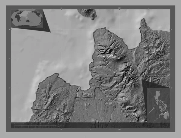
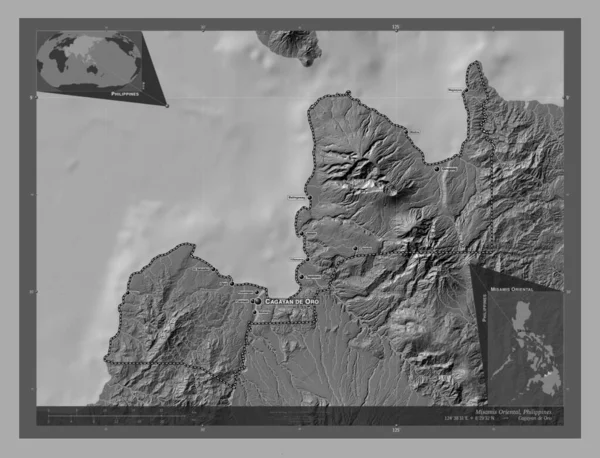
Misamis Oriental, province of Philippines. Bilevel elevation map with lakes and rivers. Locations of major cities of the region. Corner auxiliary location maps
Misamis Oriental Province Philippines Bilevel Elevation Map Lakes Rivers Locations — Stock fotografie
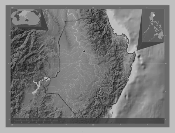
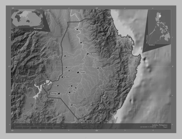
Isabela, province of Philippines. Grayscale elevation map with lakes and rivers. Corner auxiliary location maps
Isabela Province Philippines Grayscale Elevation Map Lakes Rivers Corner Auxiliary — Stock fotografie
Occidental Mindoro, province of Philippines. Bilevel elevation map with lakes and rivers. Locations of major cities of the region. Corner auxiliary location maps
Occidental Mindoro Province Philippines Bilevel Elevation Map Lakes Rivers Locations — Stock fotografie
Zambales, province of Philippines. Bilevel elevation map with lakes and rivers. Locations of major cities of the region. Corner auxiliary location maps
Zambales Province Philippines Bilevel Elevation Map Lakes Rivers Locations Major — Stock fotografie
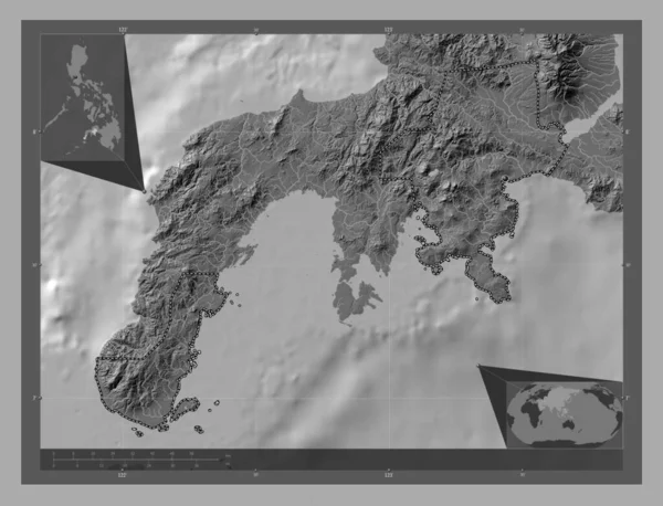
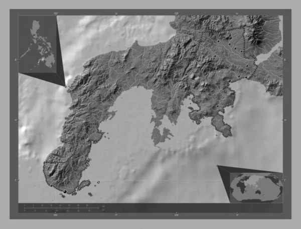
Zamboanga del Sur, province of Philippines. Bilevel elevation map with lakes and rivers. Corner auxiliary location maps
Zamboanga Del Sur Province Philippines Bilevel Elevation Map Lakes Rivers — Stock fotografie
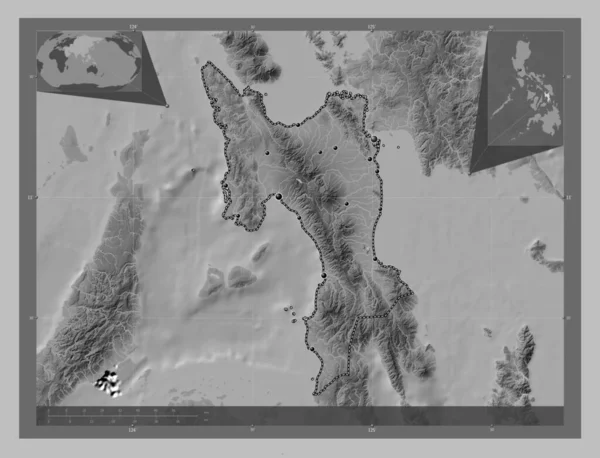
Leyte, province of Philippines. Grayscale elevation map with lakes and rivers. Locations of major cities of the region. Corner auxiliary location maps
Leyte Province Philippines Grayscale Elevation Map Lakes Rivers Locations Major — Stock fotografie
Isabela, province of Philippines. Grayscale elevation map with lakes and rivers. Locations and names of major cities of the region. Corner auxiliary location maps
Isabela Province Philippines Grayscale Elevation Map Lakes Rivers Locations Names — Stock fotografie
Misamis Oriental, province of Philippines. Bilevel elevation map with lakes and rivers. Locations and names of major cities of the region. Corner auxiliary location maps
Misamis Oriental Province Philippines Bilevel Elevation Map Lakes Rivers Locations — Stock fotografie
Zamboanga del Sur, province of Philippines. Bilevel elevation map with lakes and rivers. Locations of major cities of the region. Corner auxiliary location maps
Zamboanga Del Sur Province Philippines Bilevel Elevation Map Lakes Rivers — Stock fotografie
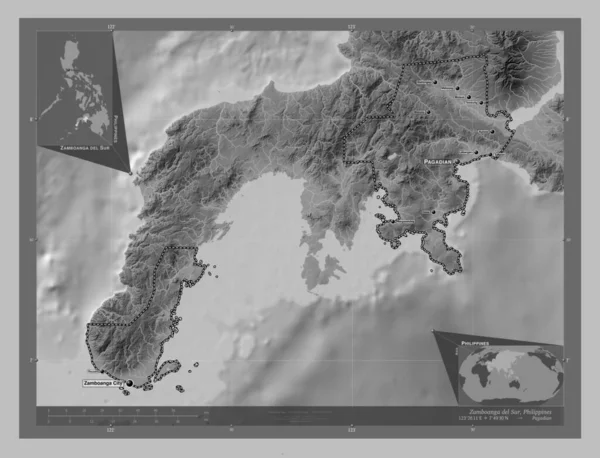
Zamboanga del Sur, province of Philippines. Grayscale elevation map with lakes and rivers. Locations and names of major cities of the region. Corner auxiliary location maps
Zamboanga Del Sur Province Philippines Grayscale Elevation Map Lakes Rivers — Stock fotografie

Informace o použití

Tuto bezplatnou fotografii "Oriental Mindoro, province of Philippines. Bilevel elevation map with lakes and rivers. Corner auxiliary location maps" můžete použít pro osobní a komerční účely v souladu se standardní nebo rozšířenou licencí. Standardní licence pokrývá většinu případů použití, včetně reklamy, návrhů uživatelského rozhraní a balení produktů, a umožňuje až 500 000 tištěných kopií. Rozšířená licence povoluje všechny případy použití v rámci standardní licence s neomezenými tiskovými právy a umožňuje vám používat stažené obrázky pro zboží, další prodej produktů nebo volnou distribuci.

Tuto fotografii si můžete koupit a stáhnout ve vysokém rozlišení až do 4930x3770. Datum nahrání: 28. 1. 2023